South Florida lows drop to 50s as cold front arrives
Temperatures in the upper 50s will mark the season's coldest air before a return to near 80 degrees by Monday.
By Layla Haddad ·
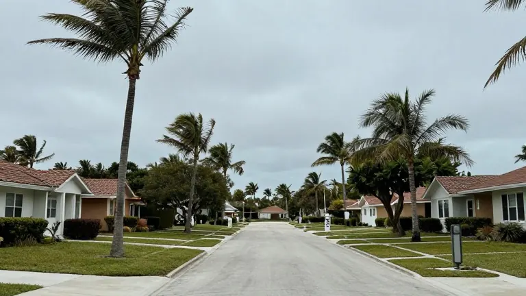
A cold front will push temperatures across South Florida into the upper 50s Friday night, marking the lowest readings of the season.
The area began Friday with a mild morning, though afternoon highs stalled in the upper 70s under cloud cover. The National Weather Service issued a small craft advisory for boaters along the Atlantic waters and the Florida Keys, effective from Friday night through Saturday. This advisory cites increased wind conditions as the front approaches.
The arrival of the front will cause temperatures to fall sharply Friday night, reaching the upper 50s and low 60s. Meteorologists identify this air mass as the coldest of the year so far, with lows colder than any recorded since March. The regional average low temperature for this time of year is 69 degrees. Saturday will bring bright sunshine and a brisk breeze, but highs will struggle to reach the low 70s. Sunday will maintain a similar chill, with lows remaining in the upper 50s and low 60s before highs climb into the upper 70s under mostly sunny skies. Winds may gust as high as 20 mph during the weekend.
Conditions will shift early next week as temperatures and precipitation chances increase. Highs are expected to reach near 80 degrees on Monday, with a potential for spotty showers. Winds will strengthen from the east, sustaining speeds of 15 to 20 mph with gusts up to 25 to 30 mph. Scattered showers and thunderstorms are possible on Monday and Tuesday. Highs will remain near 80 degrees through the early week, and the windy conditions will persist with gusts reaching 25 to 30 mph.